

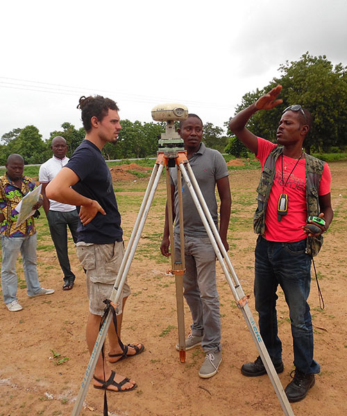
The project to modernise and rehabilitate Senegal's geodetic infrastructure is part of the Land Registry and Security Project (PROCASEF), which aims to put in place land man... Continue reading
L'ingénierie géographique de référence

Senegal/ PROCASEF: national workshop to launch geodetic modernisation work ![]() All equal at IGN FI!
All equal at IGN FI! ![]() Senegal/ PGIIS project: impact of flooding on Kolda and Kedougou
Senegal/ PGIIS project: impact of flooding on Kolda and Kedougou ![]() IGN FI at the heart of the New Copernicus Service Global mapping and monitoring of land cover and tropical forests (LCFM)
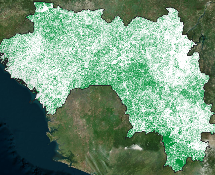
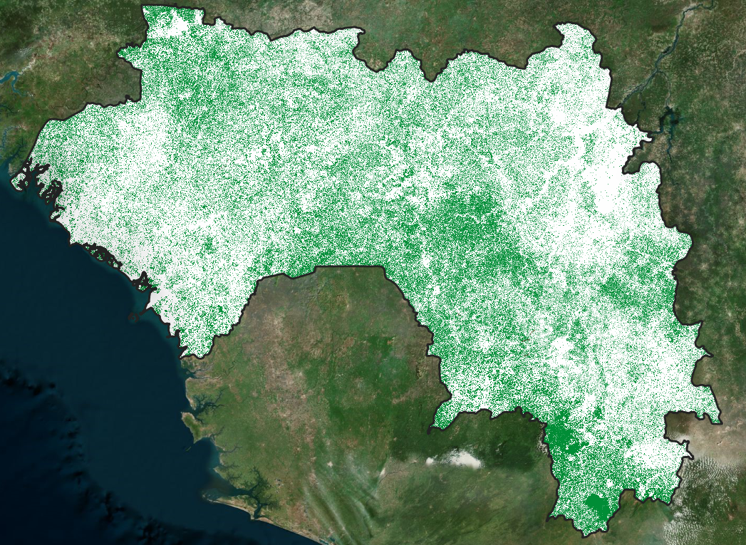
IGN FI at the heart of the New Copernicus Service Global mapping and monitoring of land cover and tropical forests (LCFM) ![]() Support for the development of the National Forest and Land Use Monitoring System (SNSF) in the Republic of Guinea
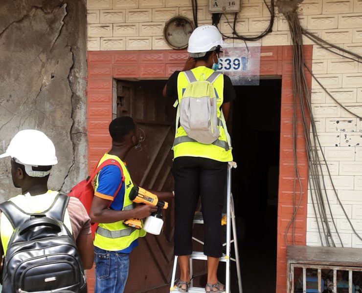
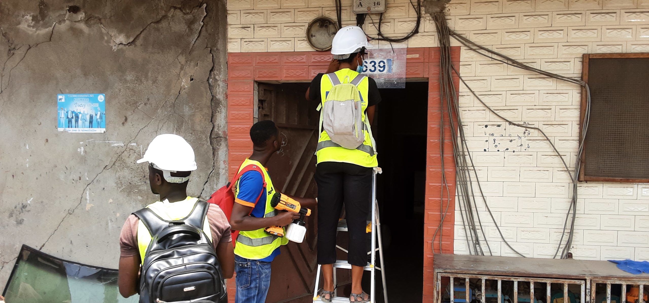
Support for the development of the National Forest and Land Use Monitoring System (SNSF) in the Republic of Guinea ![]() Ivory Coast/ PADA: Report on surveys and stenciling
Ivory Coast/ PADA: Report on surveys and stenciling ![]()


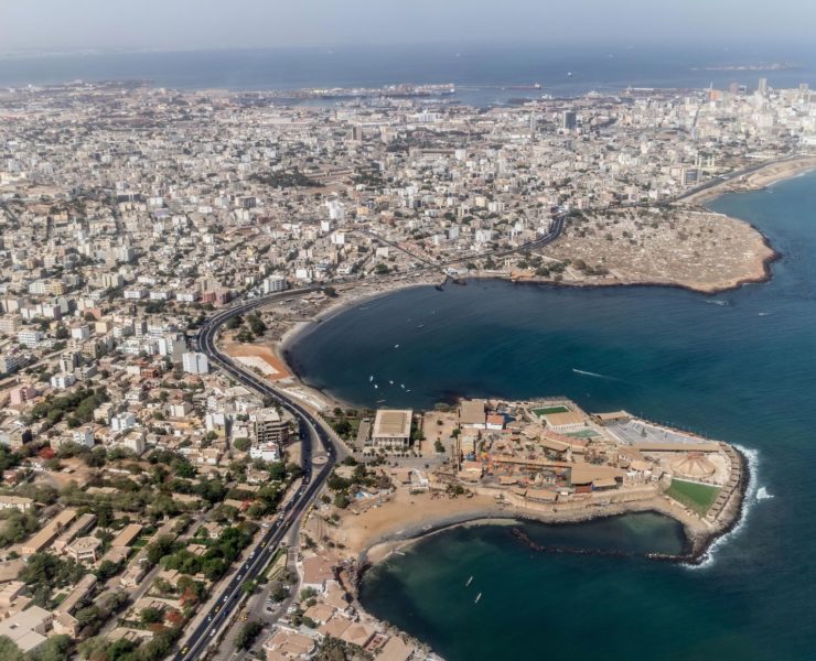
Senegal/ PROCASEF: national workshop to launch geodetic modernisation work
All equal at IGN FI!
Today, on International Women's Rights Day, we are proud to see that more and more women are getting involved and achieving success in traditionally male-dominated fields, particularly in the field of geographic i... Continue reading
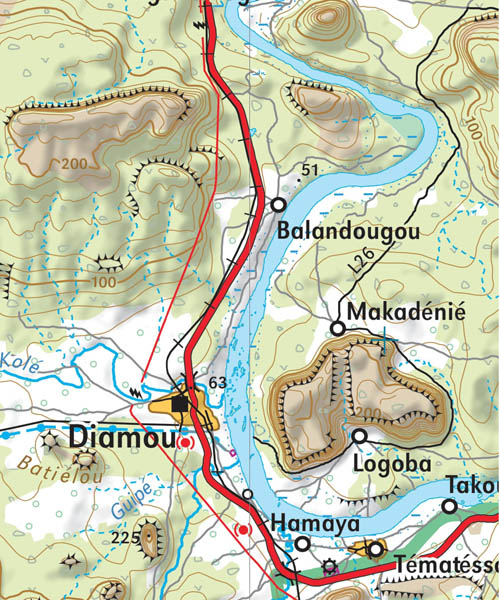
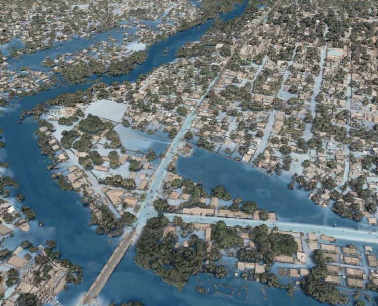
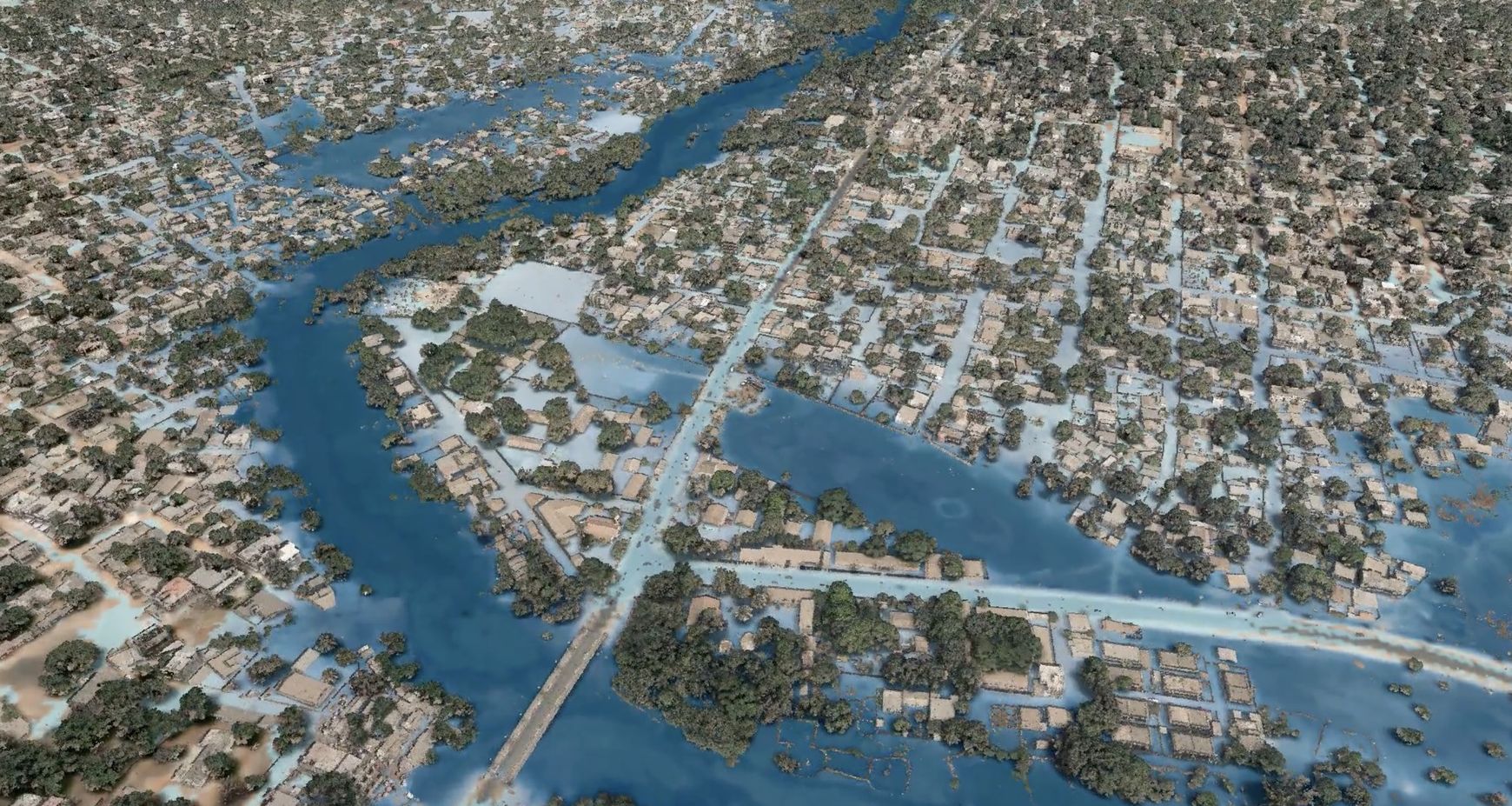
Senegal/ PGIIS project: impact of flooding on Kolda and Kedougou
The presentation of the results of the Integrated Flood Management Project (PGIIS) in the Kolda area brought together all the stakeholders at the end of January. The mapping of the flood risk in the area models a ... Continue reading
IGN FI at the heart of the New Copernicus Service Global mapping and monitoring of land cover and tropical forests (LCFM)
In November 2023, the Joint Research Centre (JRC) of the European Commission and VITO signed a four-year framework contract for the deployment of the Copernicus LCFM service, marking a significant step forward in ... Continue reading
Support for the development of the National Forest and Land Use Monitoring System (SNSF) in the Republic of Guinea
The World Bank has mobilised a consortium comprising IGN FI/ONFI/ SalvaTerra to study how to set up a National Forest and Land Use Monitoring System (SNSF), as well as the capacity-building needs to ensure that th... Continue reading
Ivory Coast/ PADA: Report on surveys and stenciling
The Abidjan District Addressing Project (Projet d'Adressage du District d'Abidjan - PADA) has taken significant steps towards achieving a comprehensive addressing system and a unified reference system. These advan... Continue reading
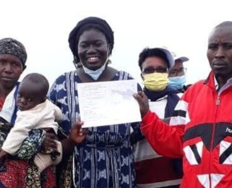
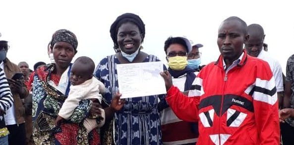
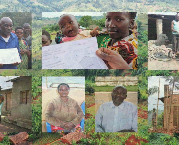
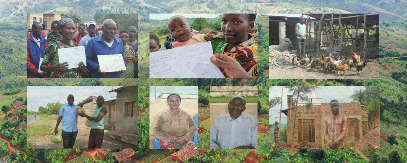
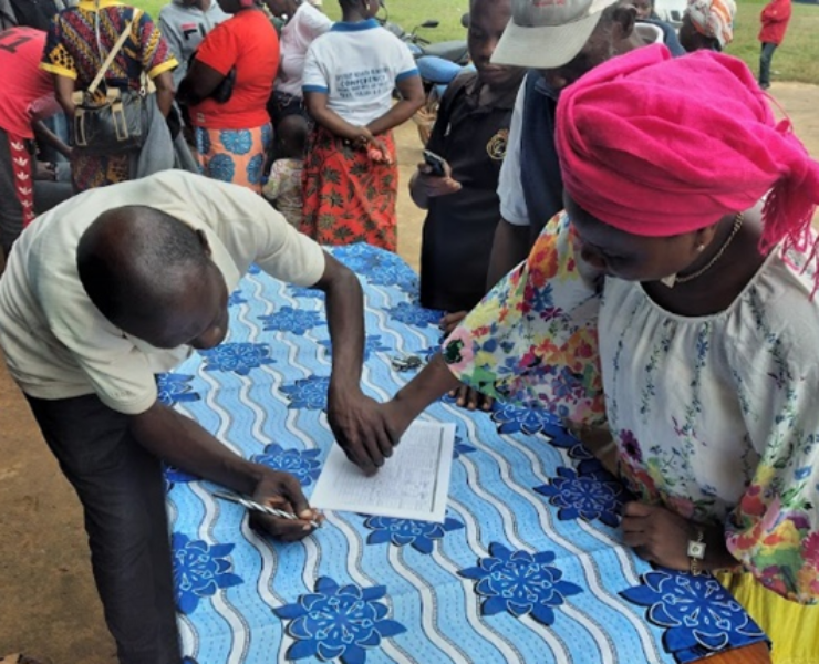
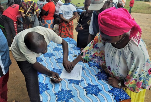
BURUNDI/ Land tenure security component of the PRRPB programme: a socially useful project
Implementation of the land certification component of the PRRPB (Projet de Restauration et de Résilience du Paysage du Burundi - Burundi Landscape Restoration and Resilience Project) involved 26 hills. Over 105,0... Continue reading
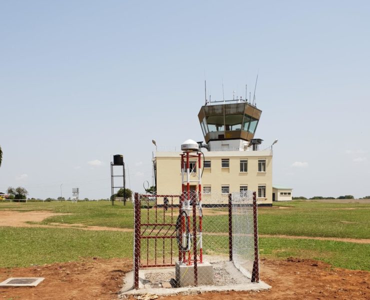
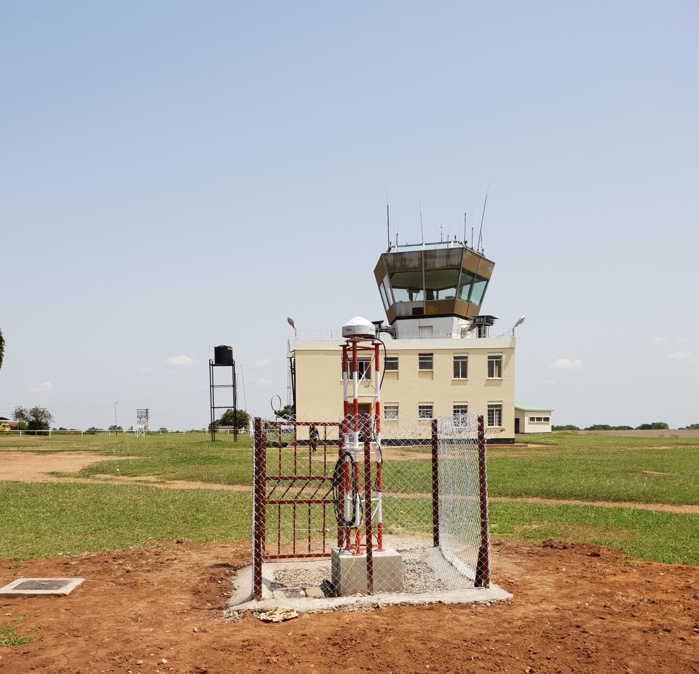
UGANDA/GEODESY: new phase in the improvement and densification of the reference station network
The improvement of the Land Administration System in Uganda is among the priorities of the Land Sector Strategic Plan (LSSP) of Uganda. This improvement also relies on the establishment and densification of the ge... Continue reading
Ivory Coast / MCLU: the technical secretary of SIGFU presents the project’s key issues
The Technical Secretariat of the Integrated Urban Land Management System (SIGFU) project held its second meeting on Tuesday 16 May 2023 at SIGFU headquarters. Chaired by Mr DIALLO Abdoulaye, Director of the Domain... Continue reading
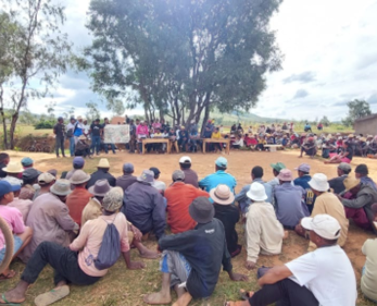
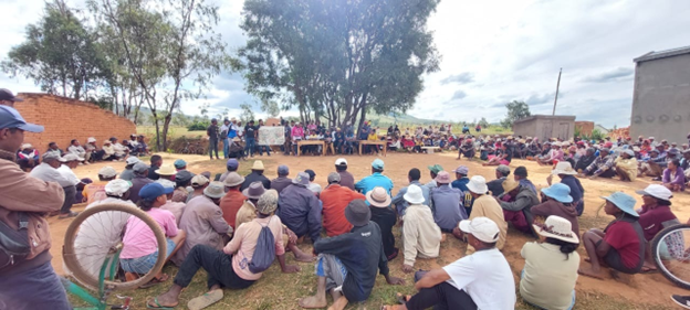
MADAGASCAR / CASEF Project: start of land certification operations and support to land offices
The consortium formed by IGN FI and Geosystems has begun land certification and support to land tenure offices in Madagascar in the regions of Amoron'i Mania, Haute Mahatsiatra, Vakinankaratra, Analamanga, Bongol... Continue reading
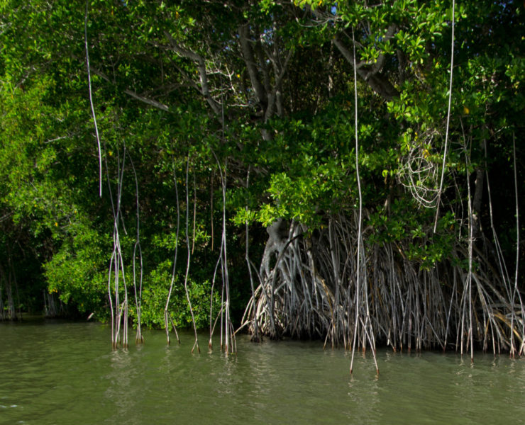
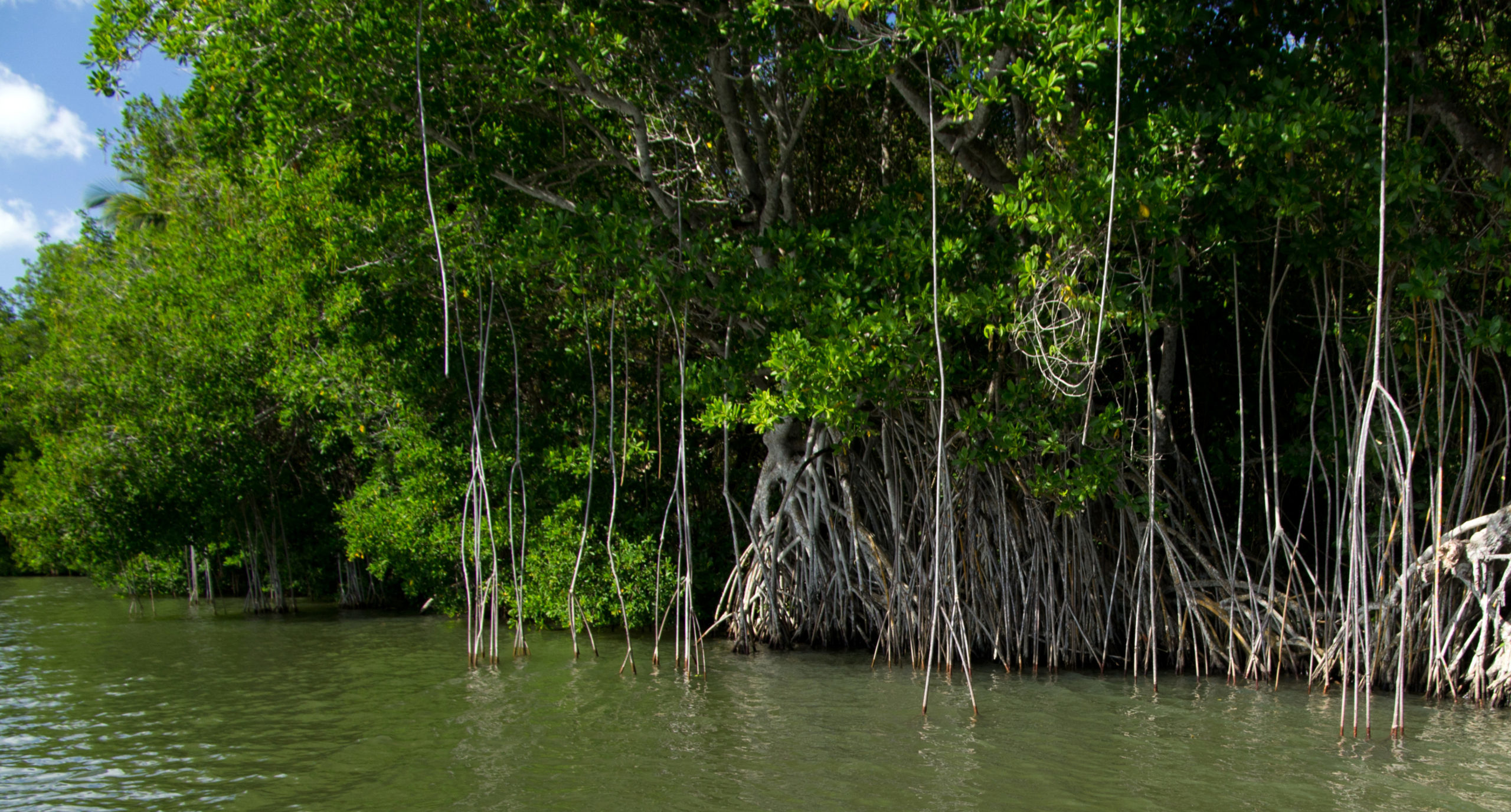
Haiti: production of a carbon storage assessment methodology
ONF International, IGN FI and the National Center for Scientific Research (CNRS), have produced a methodology for assessing the carbon storage capacities of mangroves in the different compartments.
According t... Continue reading
IGN FI delivers to the Liberia Land Authorithy its Operational Field Manual for the formalisation of customary land rights
The Liberia Land Authority (LLA) now has its Operational Field Manual for the Formalisation of Customary Land Rights, developed and provided by IGN FI, in partnership with Tetratech. This reference document is the... Continue reading
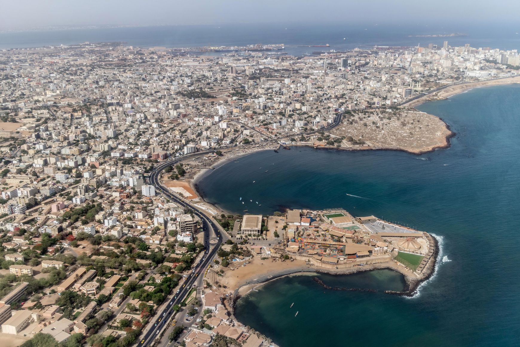
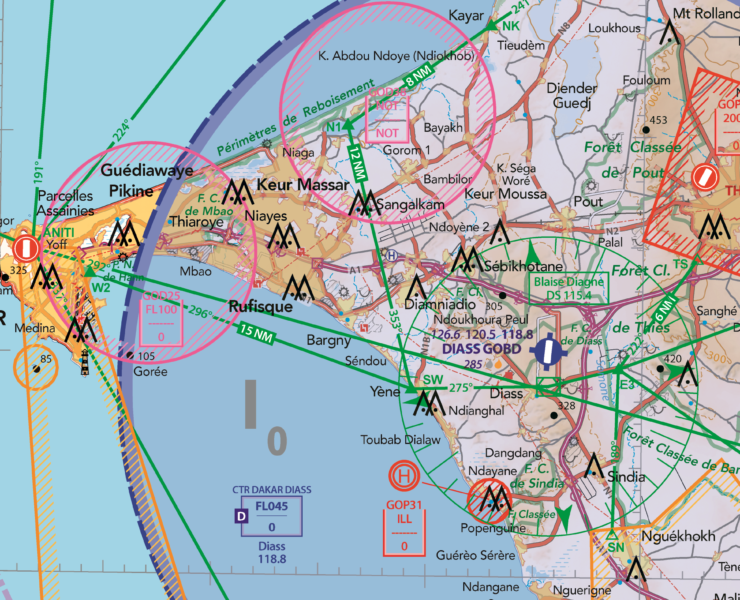
Senegal: IGN FI sets course on aeronautical cartography for the Air Force
At the beginning of 2022, IGN FI won a contract with the Senegalese Air Force for visual flight mapping of the territory. For several decades, pilots in Senegal had to fly using aeronautical maps dating from the 1... Continue reading